Coopers Plains History Area
During the Colonial period (1700's), the valleys of the Chemung River tributaries comprised the domain of the Seneca's. This unit of the Iroquois Confederacy was called the door of the Six Nations through which passed all communications.This was a central crossing of the principle Indian trails as well as a resting place and rendezvous for Indians traveling north, south, east and west. Indian houses were located near the river, fields were cultivated and a huge post was set in an open space and said to be representing an enemy. Festivities and dances were held around this post and huge fires were built. Eventually, the border wars brought the white man into this region.
In 1793 the town was organized and named Painted Post. This town was made up of the Towns Hornby, Campbell, Erwin, Lindley, Corning and Caton. After a time each town was separated from Painted Post and organized as a separate political entity with an individual name.
Erwin was a wealthy Irish immigrant, had served in the American army during the Revolution, and owned other lands as well. Colonel Erwin was shot by a "squatter" over a land and crop dispute while visiting in PA. No one was ever charged with the murder. As a result, Colonel Erwin never lived in the Town of Erwin.
Two towns, Erwin and Lindley were broken into small lots resulting in large scale lumber mills here. These large mills eventually led to the development of industry in the area.
As the area grew, products became marketable but there was no way to get them to the bigger cities. Then in about 1798-1800 it was discovered that the streams were navigable at certain times of the year and this led to the manufacturing and marketing of lumber, agricultural products, new grist mills, etc.
In 1824 an Indian warrior carved of sheet iron by John Wygant, a blacksmith, was placed atop a 30' shaft as a weathervane. It is now located in the Erwin Museum in Painted Post and is considered to be a fine example of folk art.
The first permanent Erwin settlement came around 1786. The Town of Erwin was formed from the former "Town of Painted Post" (now Town of Corning) in 1826. Erwin was reduced to form the Town of Lindley (1837), but was increased by a part of the Town of Corning in 1856. The Town of Erwin encompasses the Village of Painted Post. The Town is host to a variety of industry, commercial and residential developments, including two Fortune 500 companies, over 50 stores, and an 8 screen movie theater. The industrial park and the commercial/residential center of the Town are served by modern municipal sewer and water.
The Town of Erwin gained fame as a lumber district. The Erie Canal was complete but no way to get product to the head of Seneca Lake. The Chemung Canal came into being in 1829. Products were then shipped from Corning to Elmira via the Feeder Canal and hence to Seneca Lake via the Chemung Canal.
1838 - General F. E. Erwin was elected supervisor of this town substantially as it exists today.
1852 - Corning, Painted Post, Coopers Plains and Monterey Plank Road Company was formed. A track was laid from the Village of Monterey to Coopers Plains, then to bridge over the Conhocton River at Corning - about 15 miles with four toll gates. Six years later the plank road was abandoned between Coopers Plains and Monterey. Later a "Jordan" road from Corning through Painted Post to Coopers Plains was built.
After the 1972 Agnes Flood which devastated much of the Town of Erwin and the Village of Painted Post, the area was rebuilt and has grown to be a very prosperous and progressive community. New businesses are encouraged and are guided by our Community Development group and our local government.
In 2021, Erwin has good schools, housing, senior housing, parks, recreational facilities, shops, churches, utilities, and still attempts to maintain a sub-urban setting. Erwin has a State Forest area, good restaurants, motels, and is located in the heart of the Southern Tier tourist region
Source:
ErwinNY.org [history of Erwin]
Wikipedia.org [History of Erwin]
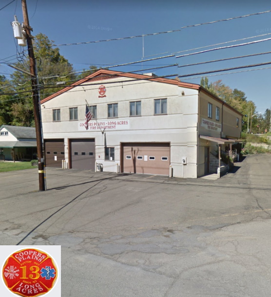
Coopers Plains Long Acres Fire Dept
The Coopers Plains-Long Acres Fire Department was incorporated in 1953. It was started with one truck, a 1936 Ward LaFrance/Ford Pumper, and some portable pumps by the men who wanted to have a fire department. The fire department building was completed in 1955. It was remodeled in 1974, and in 1985 the department built a second floor addition which includes a kitchen and community room, as well as adding fire bays. The current building has five truck bays and storage on the ground floor.Source:
Facebook: CPLAFD
Facebook: CPLAFD [another page]
Fire Depts [Coopers Plains]
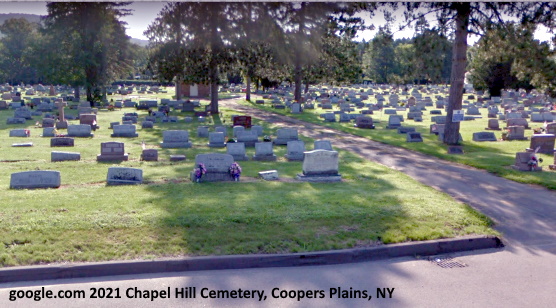
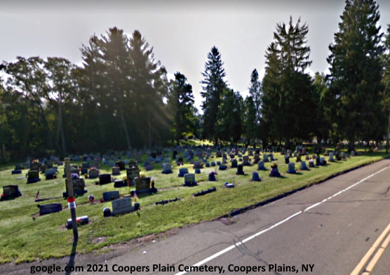
Chapel Knoll, Cooper Plain, and Chapel Hill Cemeteries [are next to each other]
Looks like the cemetery started as Coopers Plain Cemetery and expanded over time.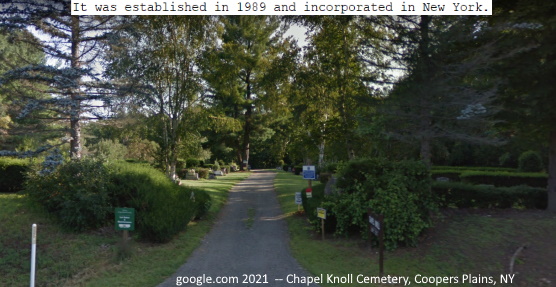
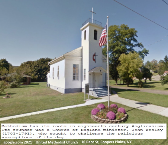
Coopers Plains United Methodist Church
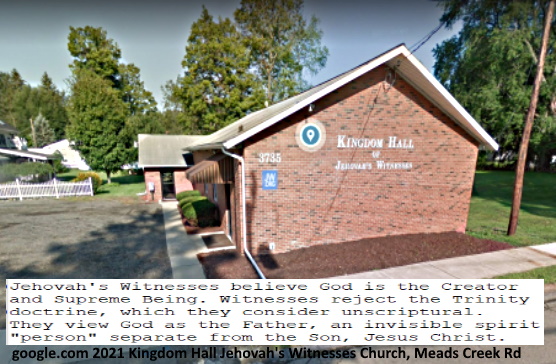
Jehovah's Witnesses Church
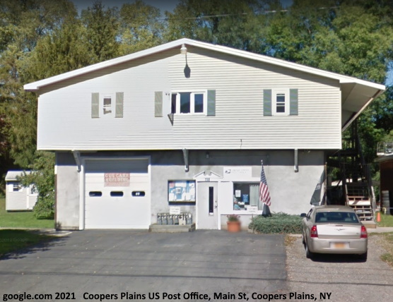
US Post Office [Coopers Plains]
1841 - Dr. John Cooper Built a large residence, sold lots and started a small village on his farm near the junction of Meads Creek Valley with Conhocton river and western boundary of the Town of Erwin. 25 or 30 houses were built as well as a hotel (Ogden's), churches, schoolhouse, flour and grist mill, steam saw mill, chair factories, wagon and blacksmith shop, 1 or 2 stores, post office, etc. The Rochester branch of the Erie Railroad had a station here. This hamlet is "Coopers Plains".Source: ErwinNY.org [Coopers Plains US Post Office]
Route 415 [runs through Coopers Plains]
All of NY 415 from Painted Post west was part of U.S. Route 15 (US 15) from the 1930s to the 1960s. As sections of the Southern Tier Expressway and I-390 opened to traffic in the 1960s and 1970s, US 15 (later NY 15) was realigned to follow the expressway while its former at-grade routing became NY 415. NY 415 reached its present length, save for one minor extension in Corning, by 1977.Corning to Savona
NY 415 begins at an intersection with NY 414 (Centerway) in the Denmark section of the city of Corning. The route heads westward from the junction as a four-lane road named East Pulteney Street, passing north of the Corning Museum of Glass and serving a commercial area of the city. NY 415 changes names to West Pulteney Street five blocks later at a junction with Bridge Street; it also narrows from four lanes to two after meeting Dodge Avenue three blocks to the west of Bridge Street. Past Dodge Avenue, the highway gradually turns to the northwest, paralleling the course of the nearby Chemung River. The route soon passes into the adjacent village of Riverside, where it briefly widens to four lanes ahead of a partial interchange with the Southern Tier Expressway (I-86 and NY 17). Past the exit, NY 415 reverts to a two-lane right-of-way and passes under the Norfolk Southern Railway's Southern Tier Line (formerly the Erie Railroad's main line). NY 415 north at I-86 and NY 17 in Corning.On the opposite side of the rail underpass, NY 415 changes names to East High Street. This moniker follows the route into the town of Erwin and its village of Painted Post, where the route gains a pair of wide shoulders and begins to traverse areas slightly more residential in nature. In the center of the village, NY 415 serves a cluster of businesses and intersects North Hamilton Street, designated as NY 417 west of this point. To the northeast, North Hamilton Street connects to CR 41. Past NY 417, NY 415 serves the predominantly residential neighborhoods that comprise western Painted Post. Just one block from North Hamilton Street, NY 415 changes names to Coopers–Bath Road at a junction with Steuben Street. The local street connects to the Painted Post Erwin Museum, housed in what was once the Painted Post station constructed by the Delaware, Lackawanna and Western Railroad.
The homes along the route become more scattered as NY 415 reaches the village limits. Outside Painted Post, the highway turns to the west, serving a handful of houses and two commercial buildings located adjacent to exit 43 of the Southern Tier Expressway. The route continues on through the town of Erwin, paralleling the B and H Rail Corporation's main line and the north bank of the Cohocton River as it heads northwestward across gradually less developed areas of Steuben County. NY 415 soon enters the hamlet of Coopers Plains, a small residential community centered around the route's junction with Meads Creek Road, which connects to exit 42 of the Southern Tier Expressway. Past exit 42, the state-maintained Meads Creek Road becomes CR 26. Past Coopers Plains, NY 415 enters the town of Campbell and makes a sharp turn to the north, crossing over the freeway to run along the undeveloped eastern side of the Cohocton River valley. Approaching NY 54 on NY 415 northbound in the village of Bath.
In Campbell, NY 415 runs through mostly wooded, rural areas, save for a handful of homes in hamlets along the route. In Curtis, located about 2 miles (3.2 km) from Coopers Plains, NY 415 connects to the eastern terminus of CR 4 (Curtis Hollow Road). The highway continues northward from Curtis, closely paralleling the Cohocton River for another 1.5 miles (2.4 km) to the hamlet of Campbell. NY 415 bypasses most of the community to the east; as a result, the route serves only a small number of homes on the outskirts of the community. As the highway heads through the area, it meets the east end of CR 333 (Main Street), which heads westward into Campbell's business district.[5] The junction with CR 333 was the former eastern terminus of NY 333,[6] a designation eliminated in 1997.[7] NY 415 continues northwest from this point, intersecting with CR 17 (McNutt Run Road) before leaving the hamlet for less developed areas of the town.
Source: Wikipedia.org [History of 415]
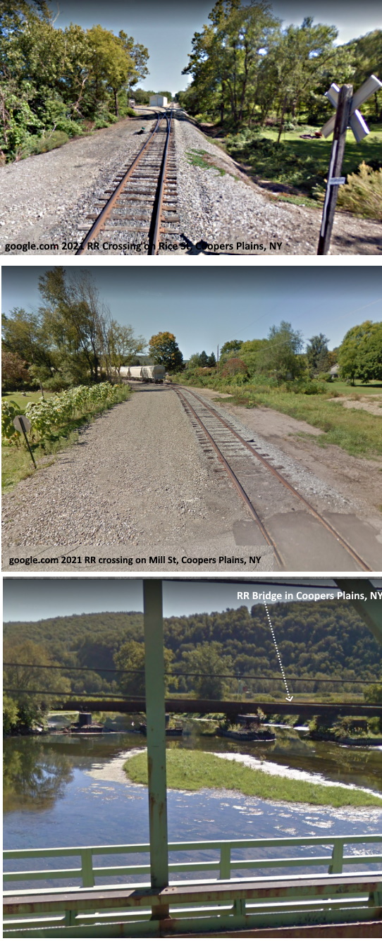
Railway through Coopers Plains
In 1841, the Rochester branch of the Erie Railroad had a station here. This hamlet is "Coopers Plains". 1850 - The New York and Erie Railroad was completed between Corning and Hornellsville, passing through the village. In 1852, the Buffalo, Conhocton Valley and New York railroad formed a junction in Erwin Area with the Erie.Source: ErwinNY.org [RR History
Commtrex RR is a short-line railroad located in western NY near Corning NY. Its railroad and transload facility have easy access to major highways and the NYS Thruway. Its transload facility also provides easy access to Central PA and has been used to help support Natural Gas production in the Marcellus Shale area. Product handled are: Dry Bulk, Food Grade, Liquids, Oversized, Packaged Goods, and Hazardous Material Handling.
Source: Comtrex.com Services in Coopers Plains Area

Coopers Plains School History
Until 2013, Frank F. Pierce Early Childhood Center [Also known as Frank F. Pierce Elementary School] was located at 3805 Meads Creek Road Painted Post, NY serving grades PK in Steuben County. The Elementary Enrichment Program was for qualifying Gifted and Talented students in 2nd through 5th grades. The students had the opportunity to meet one day a week in their own school in small groups over the course of one semester. The program was three days a week: Tuesday, Wednesday and Thursday, and the students had enrichment for one and a half hours.Source: NY Schools Report on Frank Pierce Early Childhood Center
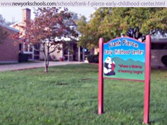
In 2013, the former Frank Pierce Early Childhood Center in Coopers Plains was sold to CareFirst, which provides hospice services. Carefirst currently operating at the former school.
Source: Star Gazette Artice on the sale of Frank Pierce Early Childhood Center
Coopers Plains is in the Corning Painted Post School District. For information on the Corning Painted Post School District view Corning-Painted Post School District page
